Exploring the James Ford Bell library
As a new American migrant, you would think exploring an entire new country would be extremely exciting. However in the times of COVID-19, there is not a lot open and not many places to go. Access to heritage collections can only be safely enabled digitally, I sit here on the computer exploring vast amounts of information only to be paradoxically static in one location. My early European ancestors though did not explore vast swaths of land, opting to create communities and infrastructures within one region. Other than being restricted by circumstances (or ability to travel somewhere), our experiences are incomparable. Yet when early Europeans came to settle, from their perspective these were vast unknown lands.
Searching the James Ford Bell library assets, I located numerous documentation, early mapping, referring directly to the American continent. While from my perspective these lands are mapped, explored, the vast amount of knowledge accessible via the internet is anything but. Too many questions have started to emerge during this exploration. How can I have an authentic experience with knowledge available online only. Parchment paper centuries old is in a state of decay; yet online can be curated with crispness. The information is the same yet I feel the absence of the physical.
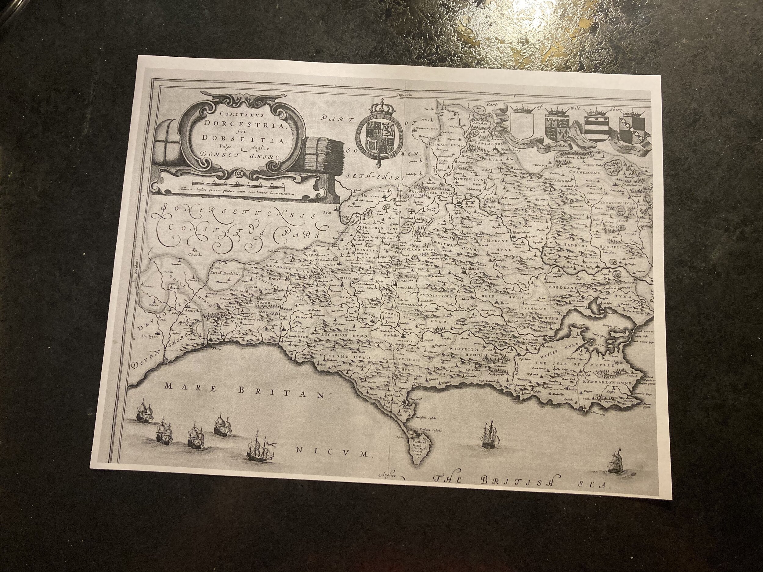
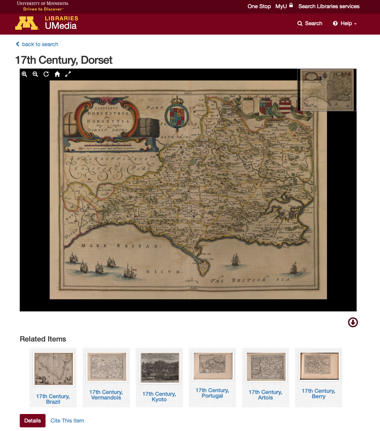
For an experiment, I located a 17th century map of Dorset, England, as I am familiar with the land and wanted to create a composition that somehow is authentic to it. This physical absence reflected in drawings produced - they are boring. The paper was to crisp, or the mark making was dull. Images clearly referenced being constructed / based upon images screened via some sort of technology.
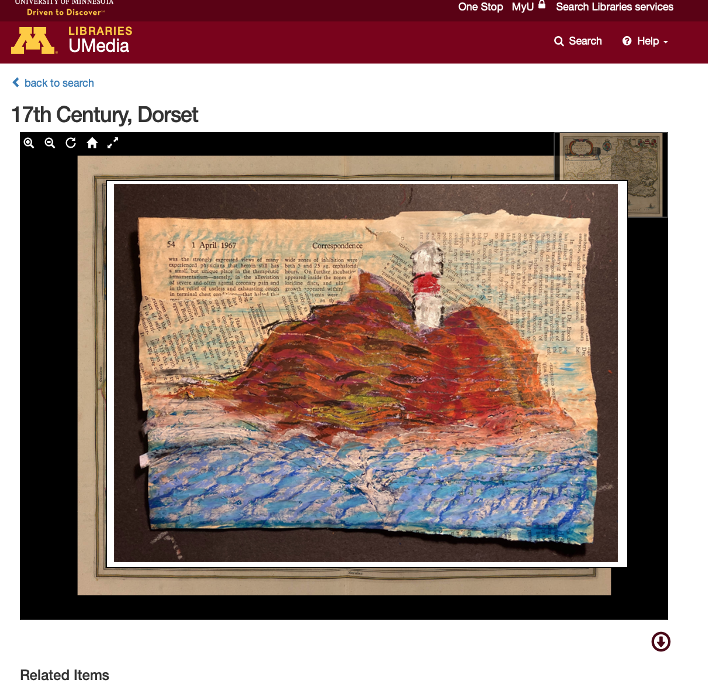
A transformative physical experience occurred with the information just by printing it out. I started to cut lines, reconstruct the composition into a collage painting. The information is still identifiable from where it originated from despite the alterations. The painting of the seascape references Portland lighthouse, does it matter if the map is accurate, the picture is in a sense still mapping the Dorset landscape only through a different method. I am playing with an idea of imposing my physical creations upon the finding aid (documentation above) however as per the problem I encountered, you the audience can’t interact with the art’s physicality. Are you witnessing / experiencing the art encounter in an authentic manner?
17th Century, Dorset. 1667. University of Minnesota Libraries, James Ford Bell Library., umedia.lib.umn.edu/item/p16022coll251:8046 Accessed 01 Feb 2021.